Trenchip
System for the location and information of trenches and underground pipelinesWith digitized document management*
*Depending on the model
Trenchip is a comprehensive solution aimed at supply management companies and public entities, which allows marking and locating key points in subway facilities through sensors and facilitates the management of subway assets through a cloud platform, which allows recording and keeping all the information and documentation related to the assets updated and always available, with a single tool.
Trenchip applies the concepts of Internet of Things (IoT) and Smart Cities and constitutes a technologically advanced and at the same time easy to implement tool, to achieve more efficient and secure processes in the maintenance of subway assets. With Trenchip, the control and maintenance of subway trenches and pipelines is easier, safer, faster and much more economical.
Long-lasting sensors for accurate location
All the information in a platform available 24/7
Visualization of locations and layouts on the field, with augmented reality
Display of layouts on the map and access to information
Improve traceability and access to information
Safe digging - reduces the risk of accidents
Shortens the affectations on public roads
Easy to implement. Short learning curve
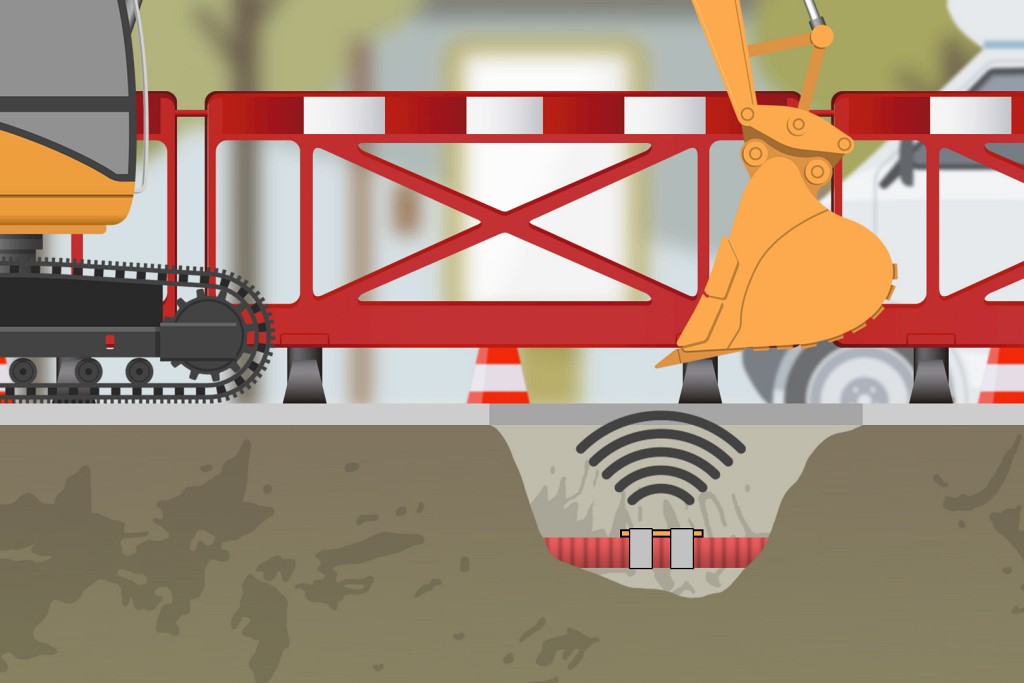
Locate your assets accurately without digging
Trenchip employs long-lasting passive RFID sensors for precise location of tagged assets. The sensors are specially designed to remain inside the trenches and be subsequently detected from the surface with the Trenchip reader device, which allows the control of the markings without the need to excavate and provides greater security when reopening the trenches.
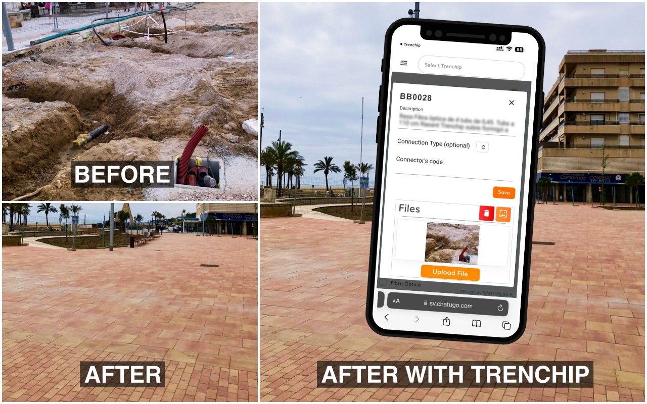
Augmented reality for on-the-ground visualization of marked points and whole layouts
The Trenchip app integrates an augmented reality tool that combines different utility maps into a single one, superimposing a representation of the underground assets on the real image captured by the app, making it possible to easily visualize and locate points and pipeline layouts on the ground.
Thanks to the Galileo location system (included in the GNSS tools) and in conjunction with the Trenchip system, this tool enables <10 cm accuracy for field location of underground pipelines and for real-time mapping of new utility installations. On the augmented reality image it is possible to manage and update the map grid data based on the precise location, as well as make corrections to existing utility maps, with high-precision localization.
Fix information fragmentation with Trenchip
Visualisation of paths and access to information on the map

For all types of installations and pipelines
- Lighting
- Telephony
- Fiber optic
- Electrical network (MT, BT)
- Natural gas
- Drinking water
- Waste water
- Pipeline and rainwater tanks
- Irrigation systems
- Sewerage
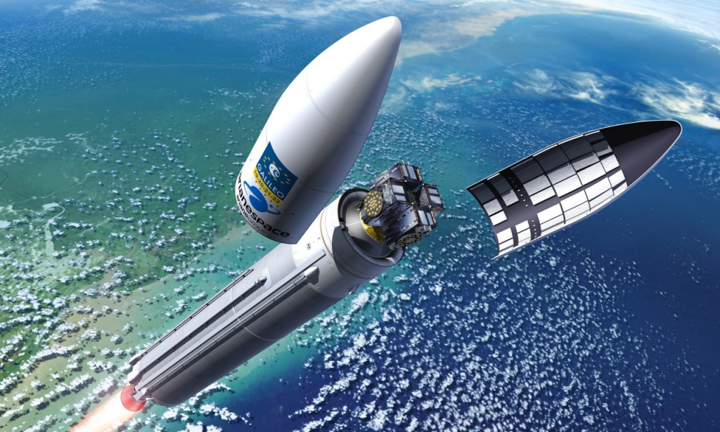
100% localization accuracy with Galileo
The GNSS receiver of the Trenchip reader, developed by Witeklab, combines the signals of the European Galileo system and those of the other fleets of positioning satellites currently in operation and terrestrial receivers with coverage in most territories.
Using noise reduction algorithms, atmospheric scattering effects, and Doppler error correction, it achieves higher accuracy than other systems, guaranteeing precise sensor detection.
Trenchip solutions for specific needs
TrenchBasic
Underground asset mapping and localisation system
TrenchBasic allows the location and mapping of points in underground assets, down to a depth of up to 1 metre, using passive RFID sensors and specific reader equipment.
Unlike other solutions on the market, TrenchBasic incorporates an application that records the precise location of each sensor, allows sensors to be grouped into projects and facilitates the transfer of location data for digitisation on a GIS map and its visualisation on a digital map.
It is an easy to implement solution, whose simplicity provides rapid adoption and incorporation into work processes, suitable for applications where only the location and mapping features of Trenchip are required.
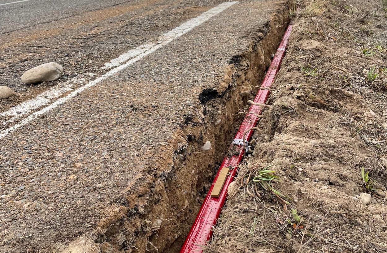
Keys to TrenchBasic→
Locate the installation accurately and precisely
The app stores locations and allows you to create projects.
Allows transfer of location information for display on the map
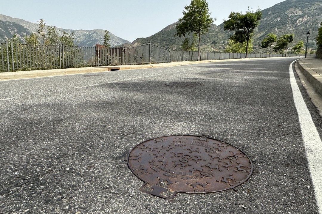
Trenchip Wall
Solution for the location and management of manhole maintenance with 3D images and augmented reality.
Trenchip Wall is a specific solution for manhole maintenance management, offering all the functionalities of Trenchip and incorporating advanced imaging features. This solution uses sensors specifically designed for use in manholes. Among the features of its application, the 3D imaging function and the augmented reality tool are particularly relevant for this field of application, which allow the addition of virtual elements to real images in field inspections.
In addition to these functions, Trenchip’s own document management functions can be added, allowing photographs and videos of the marked manholes to be stored, technical information to be archived and a historical record to be kept of the actions carried out at each point. These features, together with the image functions, make Trenchip Wall a totally innovative tool for the registration and comprehensive management of manhole maintenance.
Keys to Trenchip Wall →
Precise location of manholes with long-life sensors
Visualisation of sensors and tracks on the map
Registration and access to information via app
3D image generation and recording
Augmented reality tool

Trenchip incorporates technology developed jointly by Witeklab’s team of engineers and the Metamaterials Research Centre for Innovation in Electronics and Communications Technologies (CIMITEC) at the Autonomous University of Barcelona (UAB).
Witeklab’s TRENCHIP “Underground precise pipe localization” project was the winner of the 2020 Galileo Masters Catalonia Challenge in the Galileo satellite category.


